 vesseltracker.com
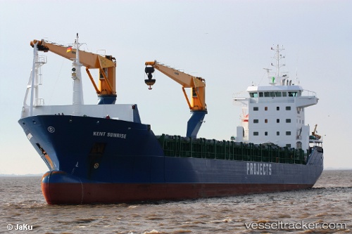
Vessel MORNING TIDE IMO: 9320506, MMSI: 314617000 General Cargo Ship
UTC, 12.11167, -68.93167, course: -1, speed: 0
UTC, 12.11167, -68.93167, course: -1, speed: 0
2026-03-04 04:16:44 UTC, 12.11500, -68.91167, course: -1, speed: 0
Live AIS position:
UTC. Near Zeelandia),
updated 2026-03-04 04:16:44 UTC.
Find the position of the vessel MORNING TIDE on the map. The latter are known coordinates and path.
marine traffic ship tracker show on live map
The current position of vessel MORNING TIDE is 12.11500 lat / -68.91167 lng. Updated: 2026-03-04 04:16:44 UTCCurrently sailing under the flag of Barbados
MORNING TIDE built in 2006 year
Deadweight:
12008 tDetails:
Last coordinates of the vessel:
UTC, 12.11167, -68.93167, course: -1, speed: 0UTC, 12.11167, -68.93167, course: -1, speed: 0
UTC, 12.11167, -68.93167, course: -1, speed: 0
2026-03-04 04:16:44 UTC, 12.11500, -68.91167, course: -1, speed: 0